Friday, June 29, 2018

Exploring Paxson Lake


Good morning snowy world! It was a perfect peaceful morning for exploring Paxson Lake. All the other campers had vacated the campground and we explored to our hearts content.

Wildlife count for the morning: one large beaver on its morning rounds, several gulls, and the carcass of a caribou at the waters edge.

...

Thursday, June 28, 2018

Paxson Lake Campground


It was 3:32 p.m. in the afternoon when we finished lunch, and with bellies full of delicious Thai food, we were ready to head to Paxson Lake via the Richardson Highway. I say that like there is more than one way to get to Paxson Lake but in truth, when you are driving it is either from the north on the Richardson Highway or from the south on the Richardson Highway. We were approaching from the south.

At mile 159 the road narrows, and now has the appearance of the old road that I remember from years back with potholes to avoid on both sides, and very little shoulder on the road to buffer any slight miscalculations in driving. We started to see snow on the surrounding ground by mile 162, and it started to rain. The snowy ground gives the road an even narrower feeling; there can be no misstep, no rash movement of the steering wheel. These type of driving conditions are a test for any skilled license holder.

When we reached Meier's lake at mile 170 it begins to snow. Three more miles down the road and the snow increases its efforts to turn the landscape white. By the time we reach Paxson Lake Campground, and turn off at mile 175 the snow is coming down in steady sleet filled sheets that blur ones vision. Good thing we did not have plans to drive farther that day.

We passed the evening watching the snow accumulate, enjoyed a hot meal, and a game of 9-card golf. This was round three of the card game for the trip and I finally won.

Wildlife count for the day: two arctic hares

...

Wednesday, June 27, 2018

Tok Thai Food


On a cold snowy day a hot spicy meal always sounds too good to pass by.  Tok Thai Food has made the upgrade move from a bus to a building since the our last visit in 2013.  Tok Thai Food for the win!


...

Tuesday, June 26, 2018

Hot Coffee and Cool Flakes


Update from the Kendesnii Campground.

It had rained most of the night and in the early hours of morning, when we thought it had just stopped raining something else was happening out of doors. We woke to a sight that made us strangely giddy, snow.

We still wonder why in the world in the middle of June, on a camping adventure, we would be so giddy to wake up to snow. Perhaps that is the true meaning of adventure, enjoying each moment along the way especially the completely unpredicted ones.

We took our time drinking coffee, cooking breakfast, and taking photos of the snow covered world. Enjoying each moment of the quiet that surrounded us. By the time we had the camper packed up and were ready to break camp there was only one other vehicle left in the campground. Everyone else must have had somewhere else to be in a timely manner.

Once we reached the Tok Cutoff Road the snow was quickly turning to slush, everything was wet. The trees were heavily burdened with snow.

It rained. 

It snowed. 

It was grey, and it was beautiful.


...

Monday, June 25, 2018

Alaska Wildflowers


Happy Monday my friends, here are a few photos of the wildflowers around the Kendesnii campground. 

Have an absolutely wonderful, perfect day!

...

Friday, June 22, 2018

Road to Nabesna


Mile 60 on the Tok Cutoff Road, Alaska Route 2, from the Richardson Highway take the right hand turn that will lead you to Slana and Nabesna. Nabesna is at the end of this 46 mile road with the road weaving into the north side of the Wrangell-St. Elias National Park & Preserve.

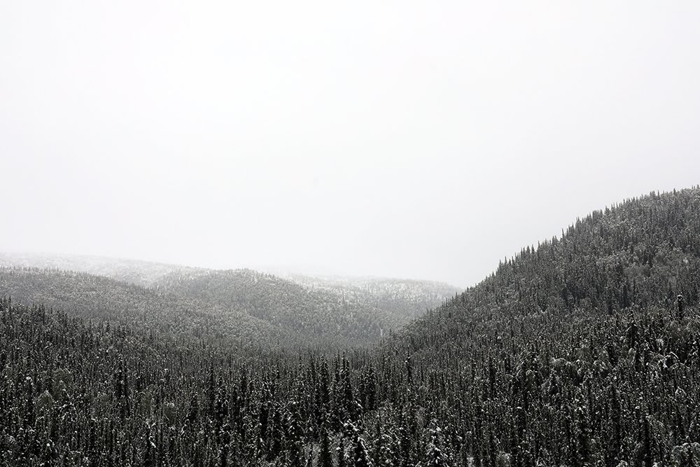
At mile 12, the road surface changes from asphalt to chip seal, the road narrows, and the driving slows down, which is a perfect way to enjoy the journey into this beautiful country. At mile 15, the road turns to gravel, narrows a bit more, and the view of the mountains on either side of the road are pleasant to the eye.

At mile 27.8, we pass by the Kendesnii campground. Two and a half miles farther down the road, we encountered a small washout creek that crosses our path. We were able to traverse over this patch of road with ease because of our vehicle size and height off the ground but in another quarter mile, the road was consumed by a rather deep fast running creek. We decided that this would be our turn around point and we return to the Kendesnii Campground for the night. Reaching Nabesna will have to wait for another time.

There are 10 campsites at the Kendesnii campground, and we were the fourth folks there with two other folks/vehicles showing up after us.

It was a quiet peaceful evening spent in front of the fire pit watching the flames dance, listening to the birds, and the trees sway in the breeze. There were dark clouds gathering towards the west, that after our fire time and supper turned into a steady rain. We fell asleep to the rhythm of the rain on the camper top.

Wildlife count for the day: two moose, and one meandering lives-in-the-area-near-Kendesnii-scruffy-matted-friendly-does-not-have-a-care-in-the-world d-o-g.


...


Thursday, June 21, 2018

Showy Jacob's Ladder + Holiday Rescued


Showy Jacob's Ladder along the Glenn Highway

Today we had two goals; one was to find a way to charge my camera batteries. I pulled a brain-dead maneuver and forgot to charge my camera backup batteries before we left Anchor-town. Our second goal of the day was to reach Nabesna.

Nabesna is an old mining village founded by the Nabesna Mining company sometime before 1909. It is located on the north side of the Wrangell-St. Elias National Park and Preserve. The mine closed in 1947, and the census from 2010 shows only five residents.

The drive from Lake Louise to Glennallen afforded us sweet views of the wildflowers along the roadside; Showy Jacob's Ladder and Lupine. Happy spots of purple that would brighten your day. In addition, Mt. Drum was in view directly in our path to Glennallen. When they first forged the Glenn Highway east, they surely used Mt. Drum as a direction marker.

A stop at the Glennallen True Value Hardware store, and the assistance from the nice True Value employee and the trip was saved. They had a 120-volt AC inverter to charge my camera batteries using the (cigarette) plugs in the cab of Elvira. The holiday was back on track. We made another pit stop for petro in the camper rig, and a stop in the pouring rain at the IGA (the local grocery store) for water, and we were off down the road to find a dryer place to have lunch.

...

Wednesday, June 20, 2018

Lake Louise


Yes... this is moose poop


As we headed towards Lake Louise, east on the Glenn Highway, Alaska Route 1, we were greeted by heavy rain just past Eureka lodge. Eureka summit is the highest point along the Glenn Highway with an elevation of about 3,322. The landscape is wide-open rolling Boreal Forest made up of barren-rock, sand, and clay that is beautiful in its vastness. There are glorious views of the Chugach Mountains to the south and the farther you travel down the road, Mt. Drum to the east.

As we near mile 139 and Nelchina the sun appears behind us as a sucker hole. These are the small clearings in the storm clouds that can trick an inexperienced pilot into thinking they have found a safe passage through the weather. Mile 159.5 we make the turn onto Lake Louise Road. If you read the DNR website about the campground at Lake Louise do not be fooled, it will tell you the turn is at mile marker 158, when in fact it's 159.5. Perhaps their website has not updated after some road construction changed the mile marker or on the other hand, it could just be faulty directions.

Upon making this turn onto Lake Louise Road you will see a sign that says road damage ahead. The sign DOES NOT tell a lie and miles 10 through 17 were especially rough. We would recommend you drive 20 miles per hour or less plus adding in some extra driving time to your itinerary would be a wise choice. It is worth noting that my photo (above) of the road does not do true justice to the words road damage.

Just past mile 17 take the right hand turn to the Lake Louise State Recreation Area. We found a lovely camp spot, number 26, cooked an excellent supper, and took a walk to the lake as the sun was setting.

Wildlife count for the day: two moose, two swans, one arctic hare, and two loons.